
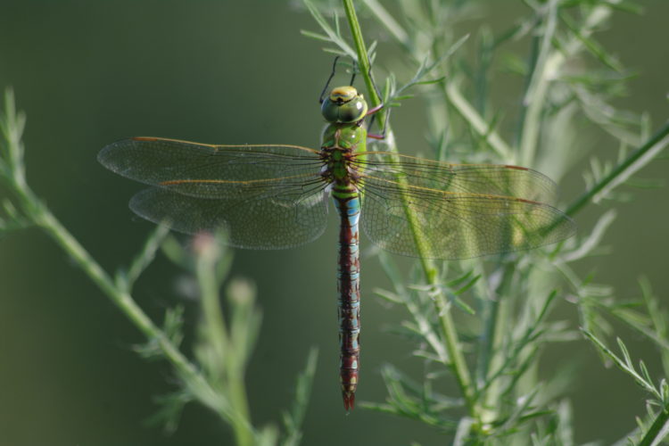
Emperor Dragonfly
Learn more
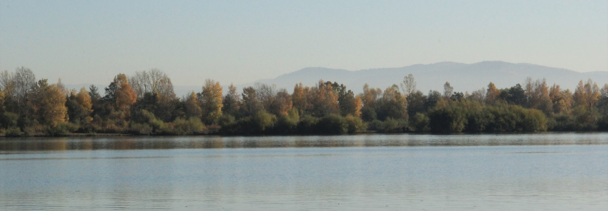
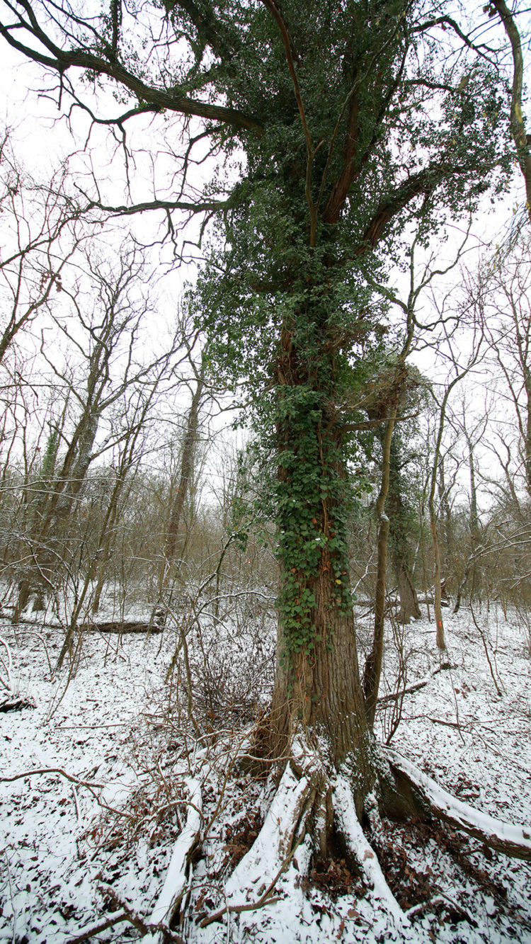
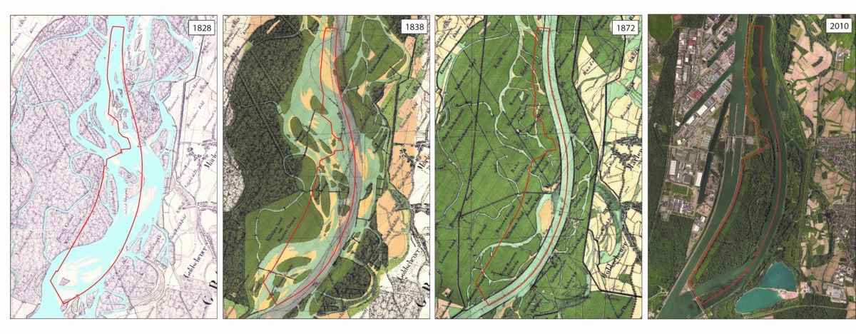
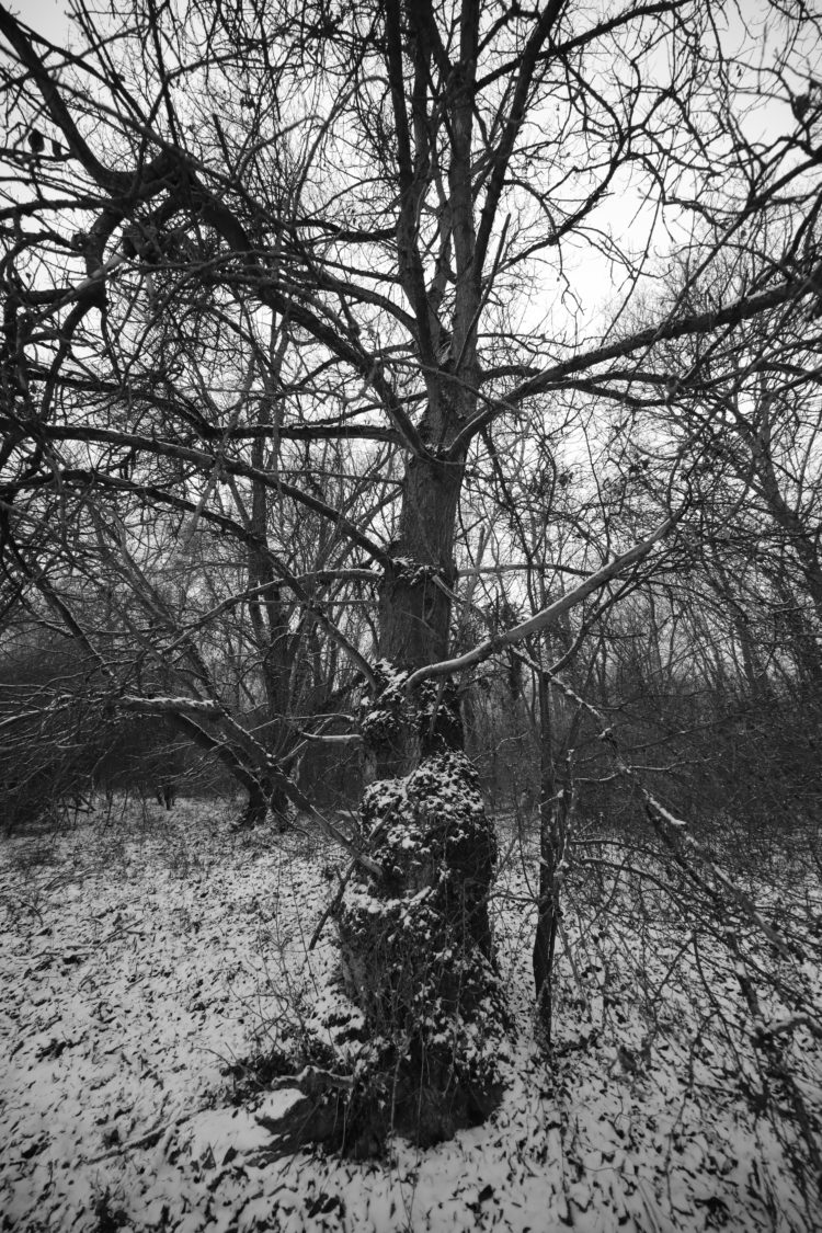
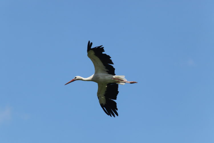
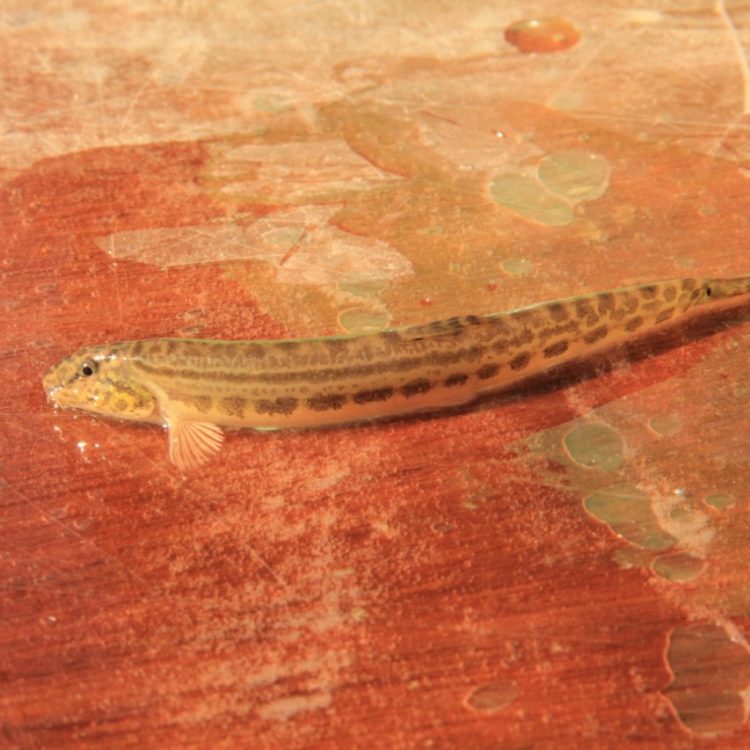
Back when the Rhine was “wild”, the river banks presented an abundant, diverse and changing landscape composed of a multitude of islands of different sizes. One of them, which lay upstream of Strasbourg, was named Rohrschollen Kopf. This environment was in constant flux, evolving with the floods and the exceptional biodiversity which included lush forests, migratory fish, otters, beavers, crayfish and other wildlife.
While the Rhine offered plenty of resources, its floods could be devastating for the people living close to it, resulting in submerged villages and ruined crops. Navigation was also uncertain due to the river’s variable flow and unstable bed. Plans to tame the river first came about in the second half of the 19th century. It would take 150 years and several engineering projects to put them into practice, involving correction, regulation and, finally, canalization.
Around Rohrschollen, it was almost certainly the first phase of work that caused a phenomenon known as “lateral aggradation” and re-attached a number of islands off the west bank to the mainland. Rohrschollen Island then formed a continuous ensemble with Neuhof Forest. The land reclaimed from the river, which farmers then took over, became known as Bauerngründe (peasant’s land).
During the 20th century, hundreds of hectares of alluvial forest were cleared at the same time as work was carried out to tame the river. In Strasbourg in the 1930s, 400 hectares of forest was lost to make way for the Port Autonome Sud, a state-run port in south Strasbourg. A further 400 hectares would later disappear due to the construction of the hydroelectric plant and the excavation of its level (1959-1963).
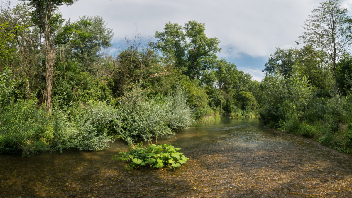
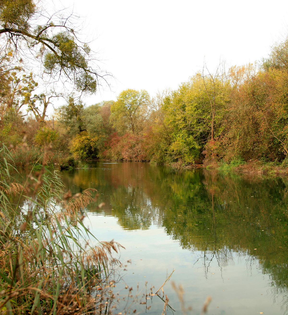
It was following these more recent developments that Rohrschollen became an island once more. They also caused, however, the groundwater level to drop significantly and the interior river, the Bauerngrundwasser, now disconnected from the Rhine, to drain. As seen along the entire Rhine strip, the alluvial environment fell into decline because the river’s balance was upset. Scientists and associations, as well as local residents, became concerned about the future of the Alsatian alluvial forests.
This concern translated in the 1970s and 1980s into a series of regulatory measures decided by the City of Strasbourg, the government, and the Bas-Rhin Departmental Council. Consequently, in March 1997 Rohrschollen Island was classified as a national nature reserve. In 1998, the City of Strasbourg was appointed by the government as the administrator of Rohrschollen Island National Nature Reserve. The administrator is responsible for preserving this final relic of the Rhine’s alluvial forests and improving its state of conservation.
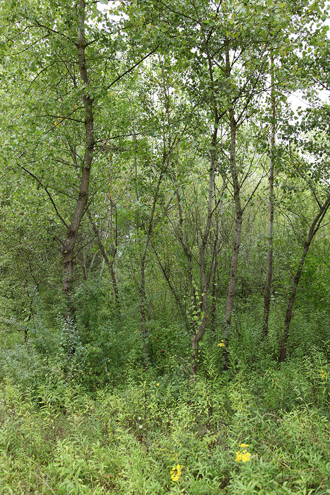
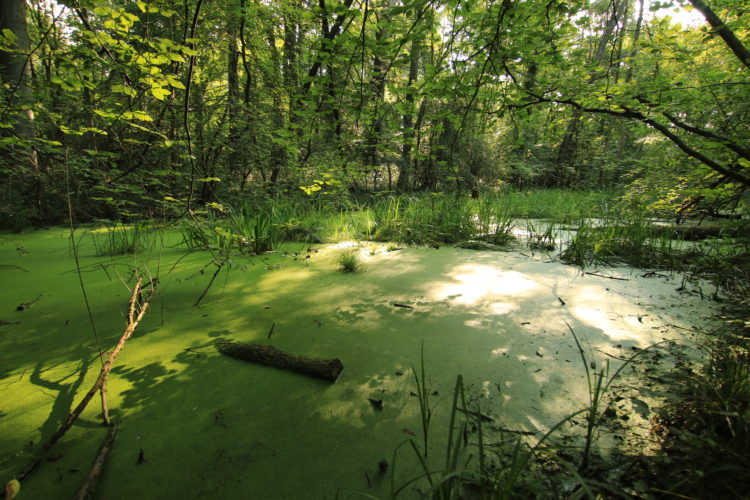
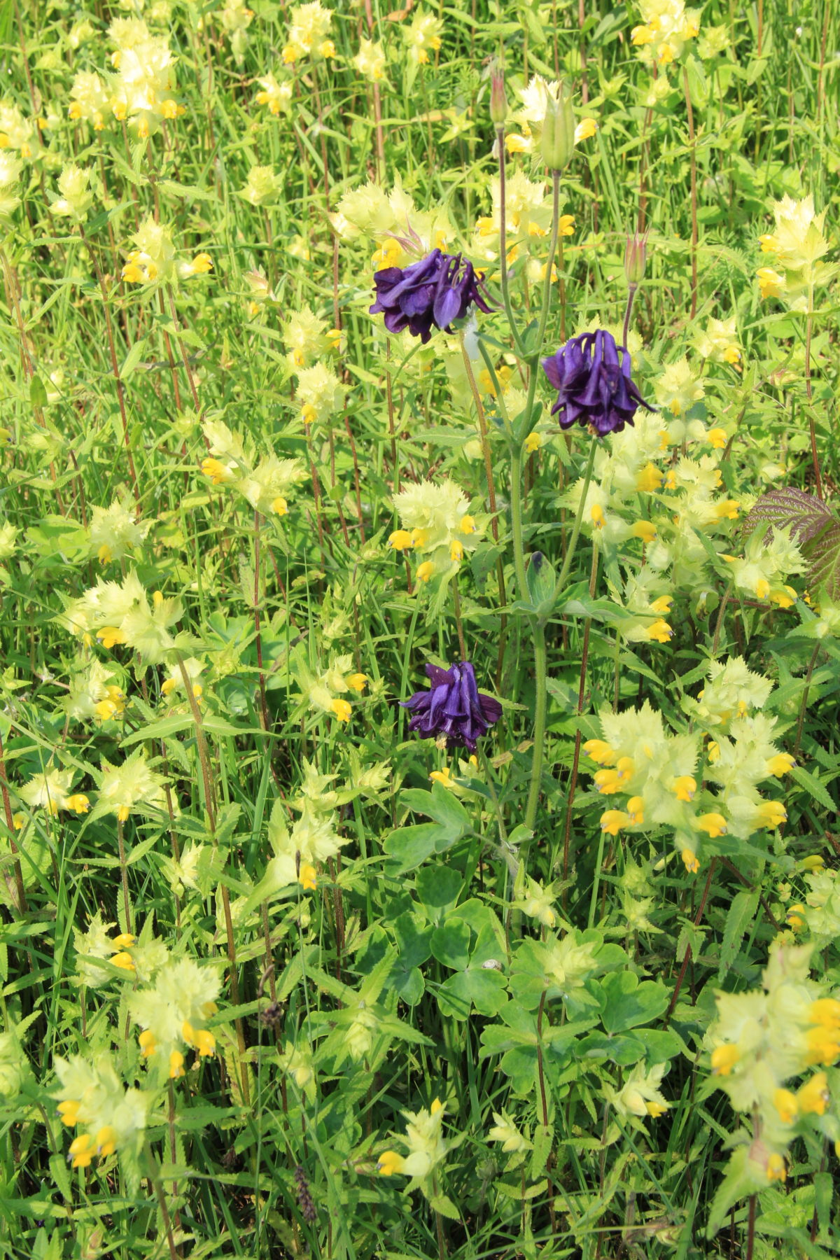
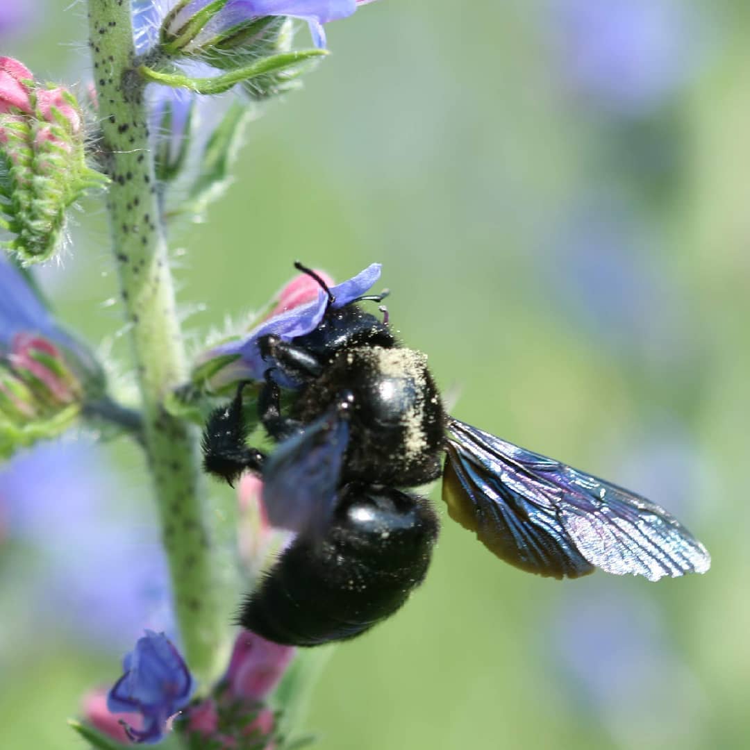
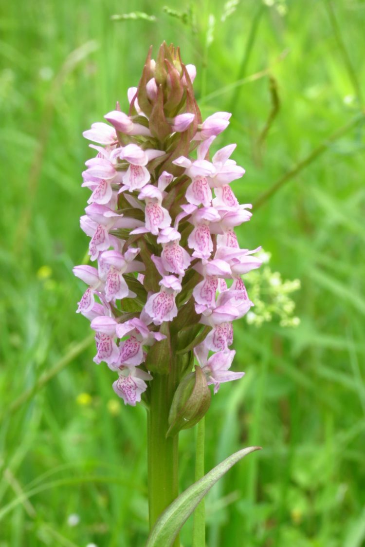
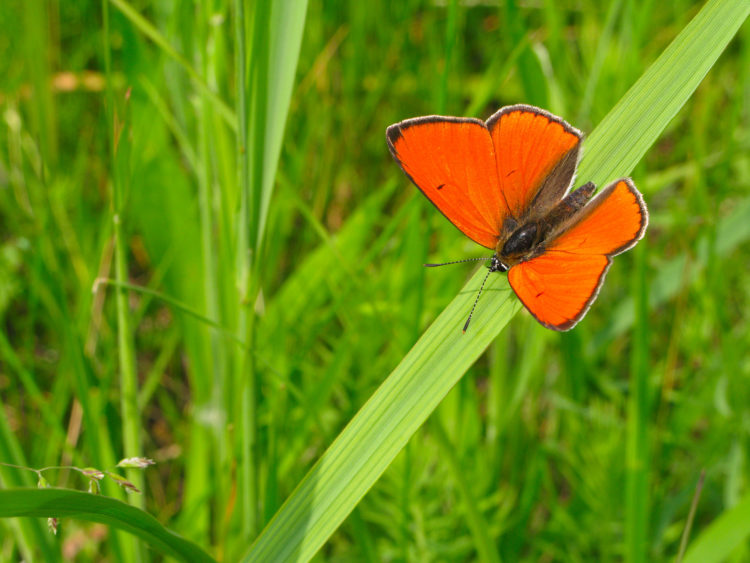
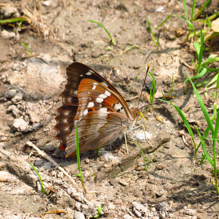
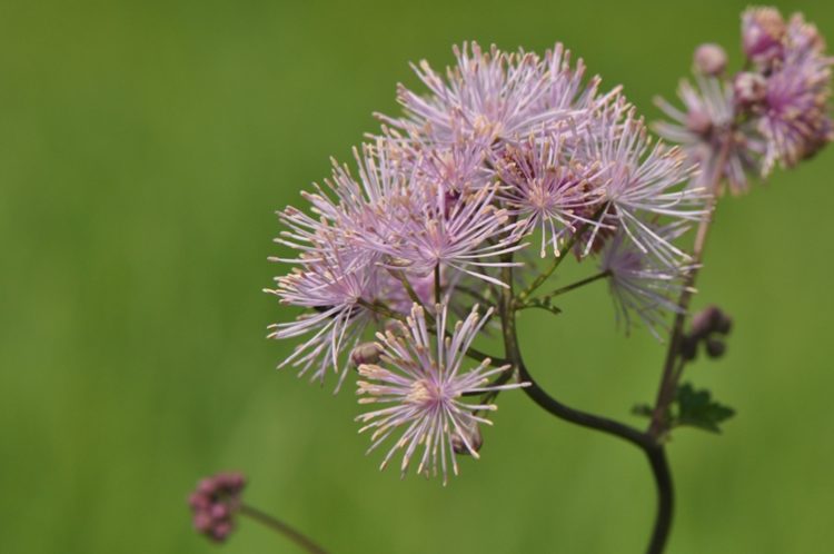
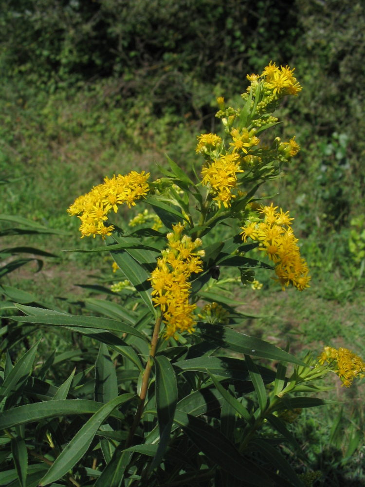
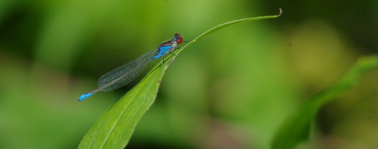
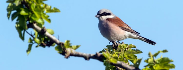
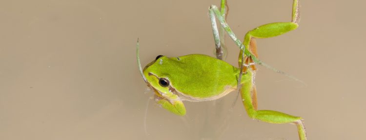
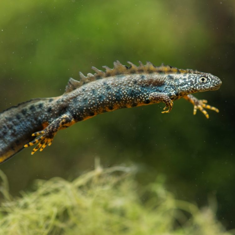
The Rohrschollen Island Reserve, thanks to its alluvial situation and the diversity of its habitats, can offer environments suitable for the settlement of numerous animal and plant species, some of which are protected.

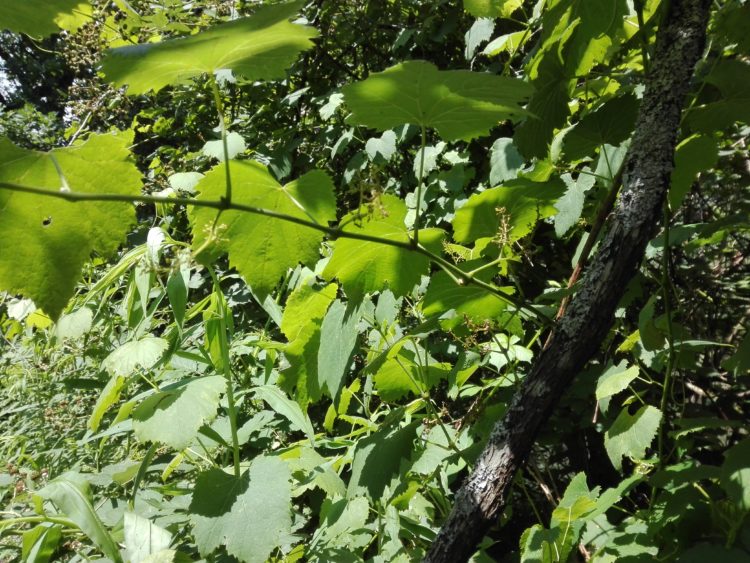


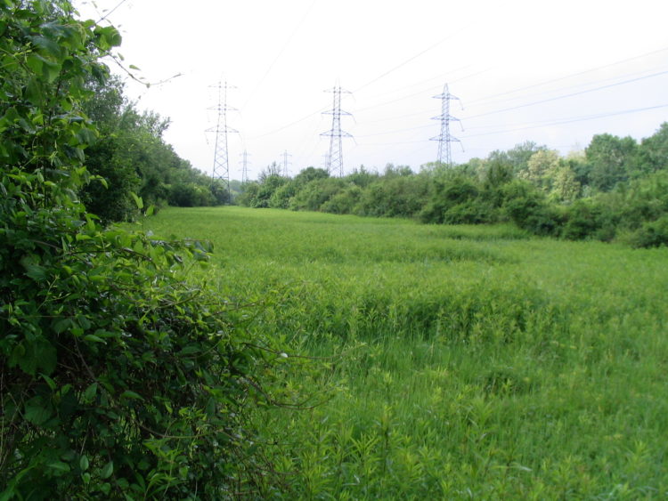
Covering an area of 309 hectares, the nature reserve is made up of 157 hectares of forest, 25 hectares of grassland and the rest is riverside.
Ninety percent of the surface area occupied by the alluvial forests along the Franco-German course of the Rhine disappeared in the 19th century.