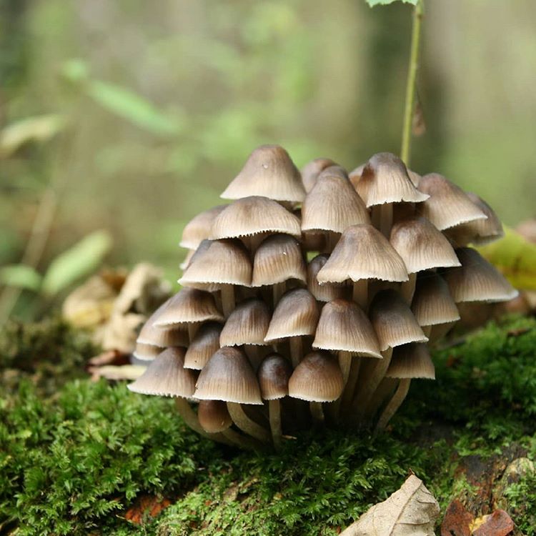
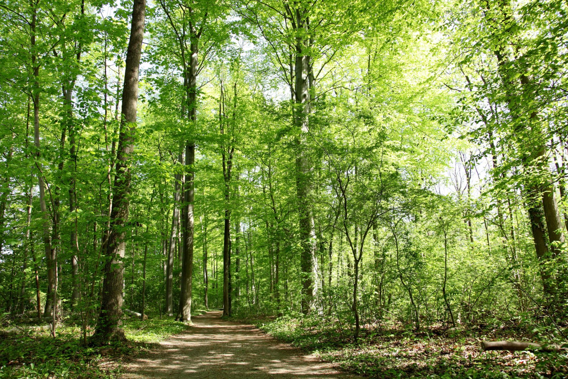
The forest
Learn more
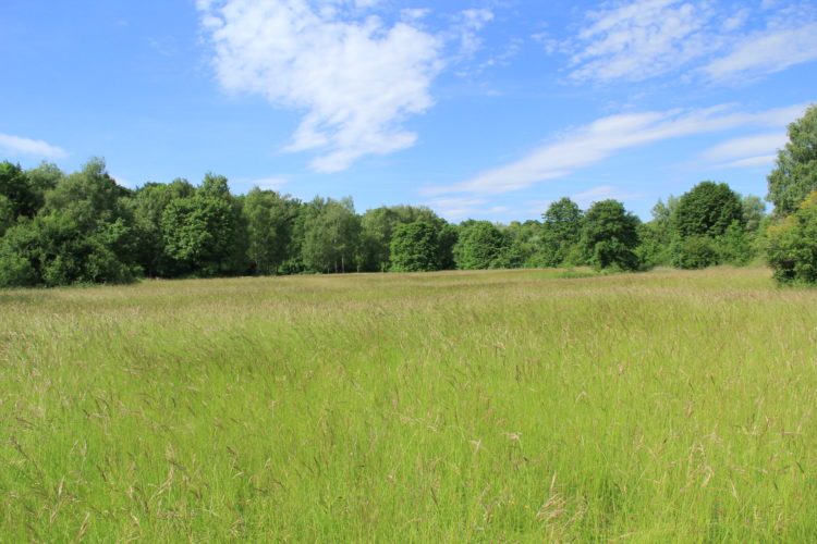
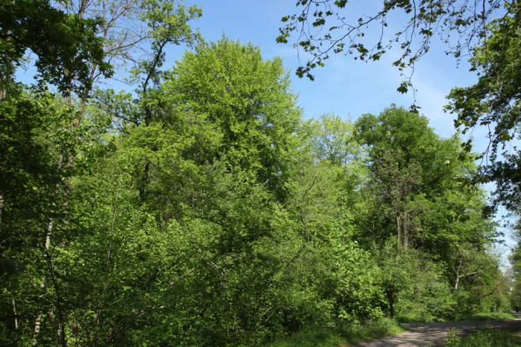
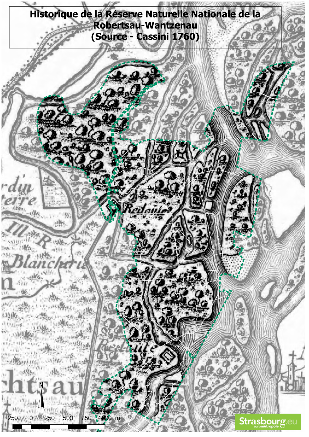
Located north of Strasbourg, Robertsau and Wantzenau Forest Nature Reserve is one contiguous forest area lying close to the nature reserves of Rohrschollen Island and Strasbourg-Neuhof/Illkirch-Graffenstaden Forest, both situated further south. The reserve is the remains of an ancient forest—the Rheinwald or Rhine Forest—that historically formed one continuous stretch of woodland along the Rhine, predominantly made up of aquatic and marsh habitats.
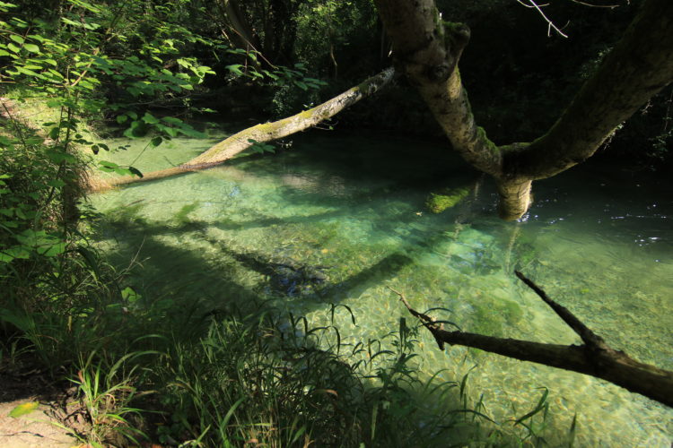
Formerly known as Ruprechtsau, the clue to Robertsau’s alluvial makeup is actually in its name: the suffix au in German means the “meadows on the waterside” . In the early 18th century, the Rhine was a “wild” river formed of many meanders and tributaries. Back then, Robertsau was a vast area of wetland between the Ill and Rhine rivers. The Rhine experienced heavy flooding which constantly reshaped the alluvial forest’s river system.
With the Rhine serving as a natural border, the gradual consolidation of the French monarchy’s positions in the region during the 18th century placed increasingly strong demand on the timber resources. This radically transformed the local forestry industry.
To reduce the risk of flooding, which was a serious problem for the local communities, plans went ahead in 1817 to correct the course of the Upper Rhine. The project, led by engineer Johann Gottfried Tulla, consisted of containing the Rhine in a “minor bed” and constructing banks that were never more than 250 meters apart.
Located several hundred meters from the minor bed, the installation of high water dikes completed the infrastructure designed to manage the unpredictable river.
Tulla’s engineering project had a significant impact on the alluvial forest and dramatically transformed how the forest ecosystem functioned. As a result of expanding farming activities and the successive developments of the Port of Strasbourg, huge swathes of forest were lost. The construction of the port also broke the ecological continuity that had existed between Robertsau Forest and the forests in southern Strasbourg (Rohrschollen and Neuhof/Illkirch-Graffenstaden).
Plans to regulate the Rhine went ahead between 1906 and 1950 to ensure the Rhine was navigable. The operation consisted of channeling the low water of the Rhine into a central canal and installing alternating rocky groins.
The Rhine was canalized in the late 1960s to bring an end to the submersion of the area between the high-water dikes when the river experienced severe flooding and to stabilize the groundwater level.
Within 200 years, the surface area covered by Strasbourg’s alluvial forests had been more than halved following the various Rhine engineering projects, agricultural expansion and the construction of the industrial and port facilities.
Although the Rhine does not have the freedom of movement it once had, the Upper Rhine remains an important international wetland area (Ramsar site).
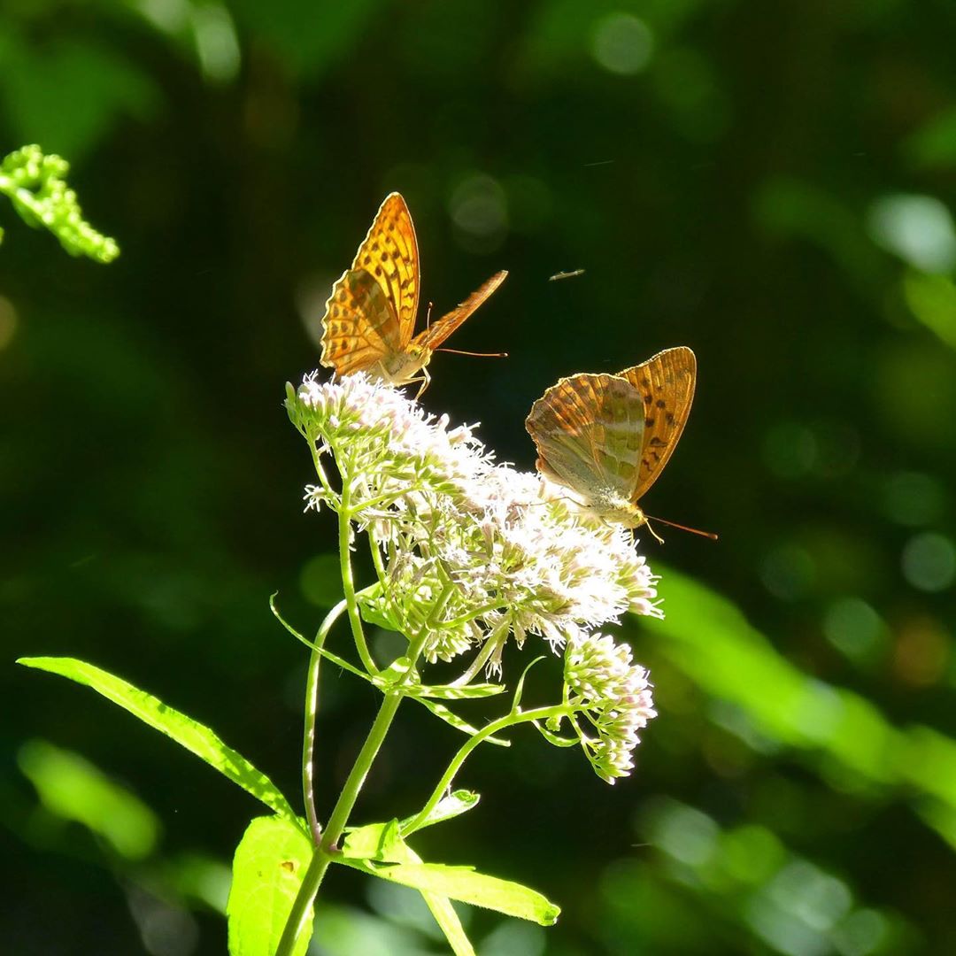
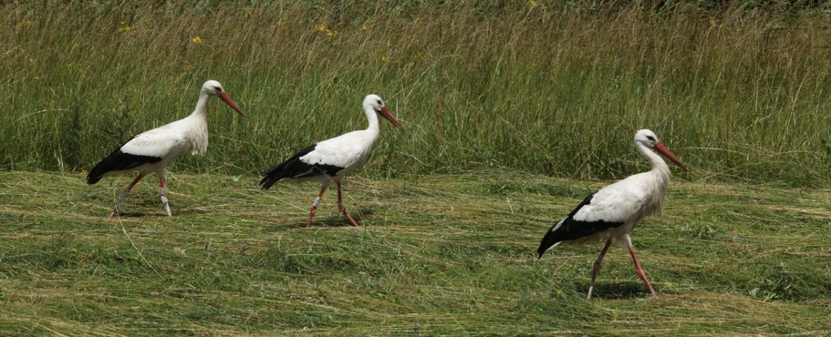
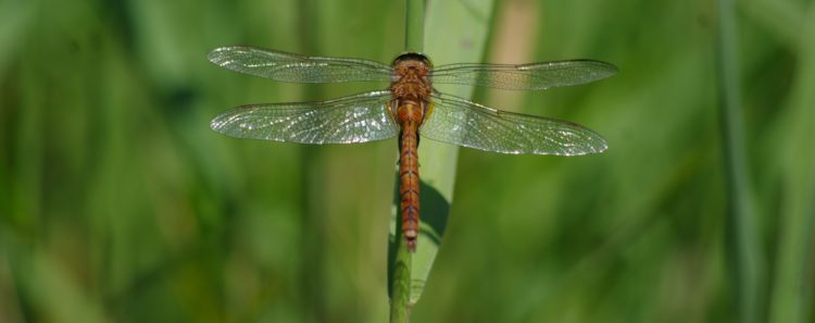
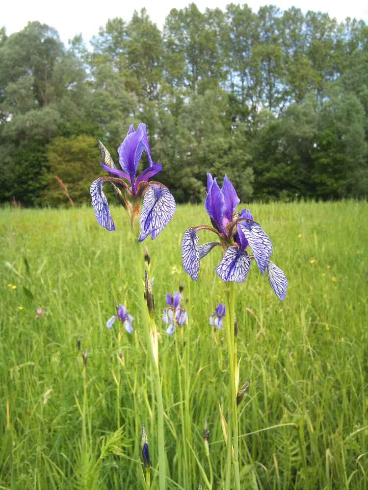
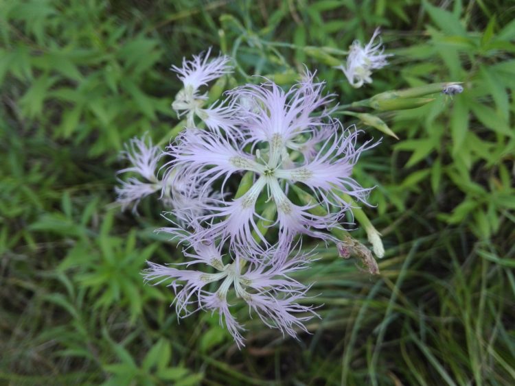
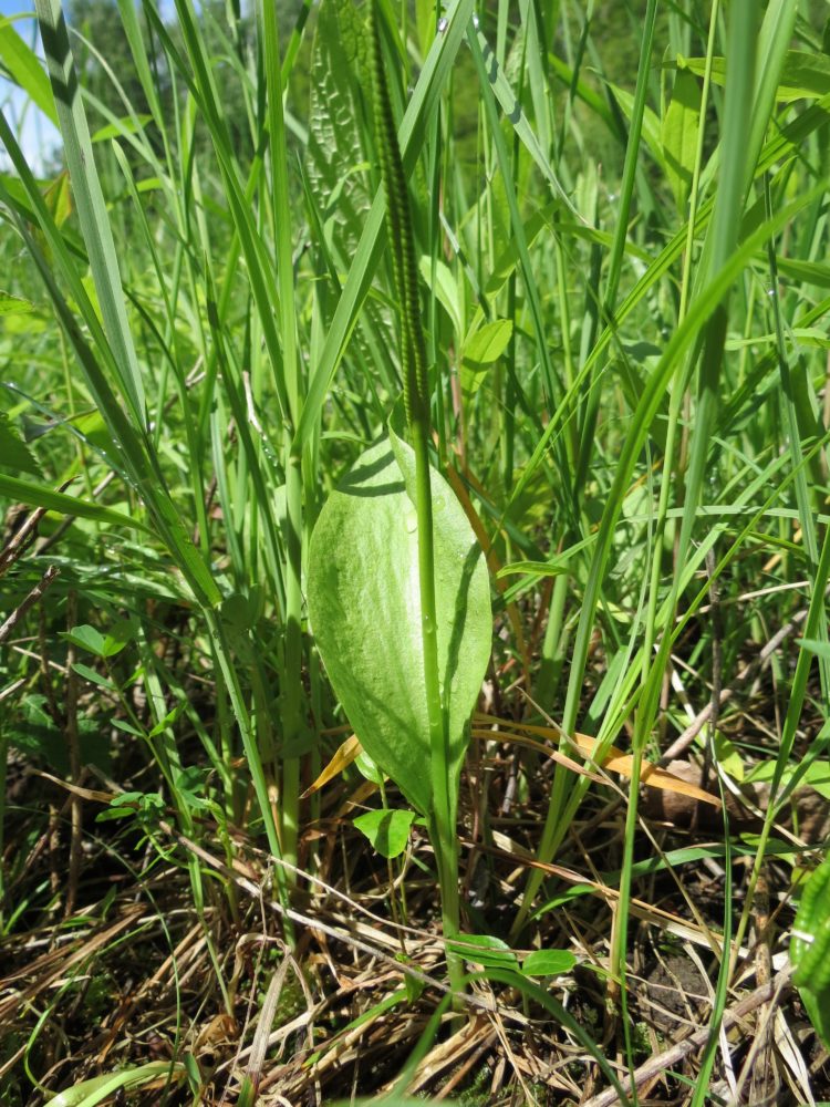
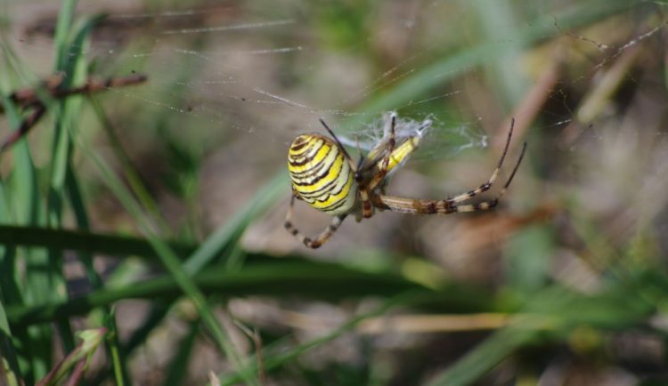
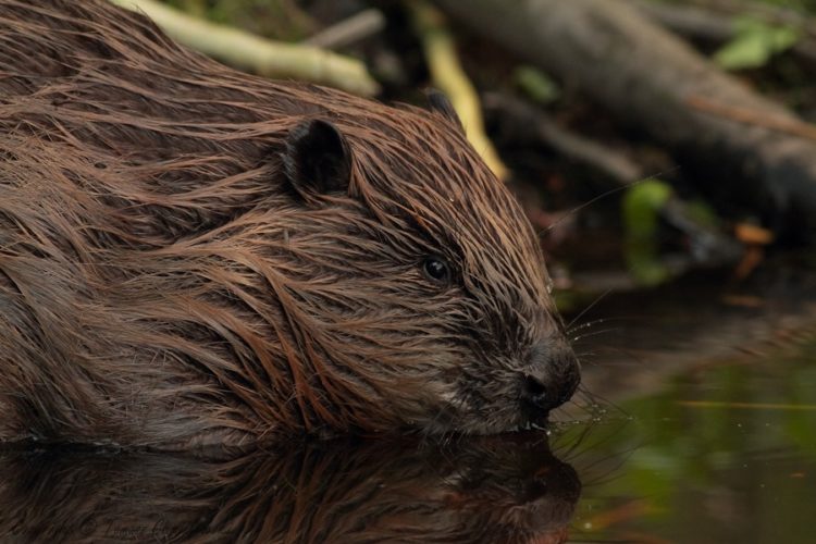
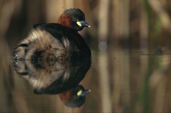
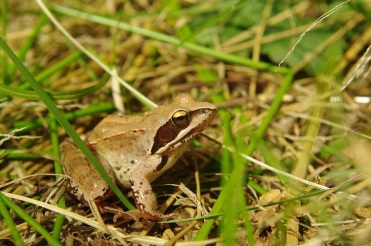
Historically and geomorphologically, the Robertsau Forest has been directly influenced by the Rhine. It owes its rich biodiversity and density to the river.
By understanding the importance of the crucial environmental challenges this forest is facing, the local authorities have put in place policies for managing and protecting the habitats. The Robertsau and Wantzenau Forest National Nature Reserve provides a regulatory framework to safeguard the future of this exceptional natural asset formed by these Rhine forests and, where necessary, implement the appropriate measures as part of a concerted restoration and regeneration policy. This stems from a renewed appreciation of the major ecological interest of these environments and the unanimous decision to protect them.